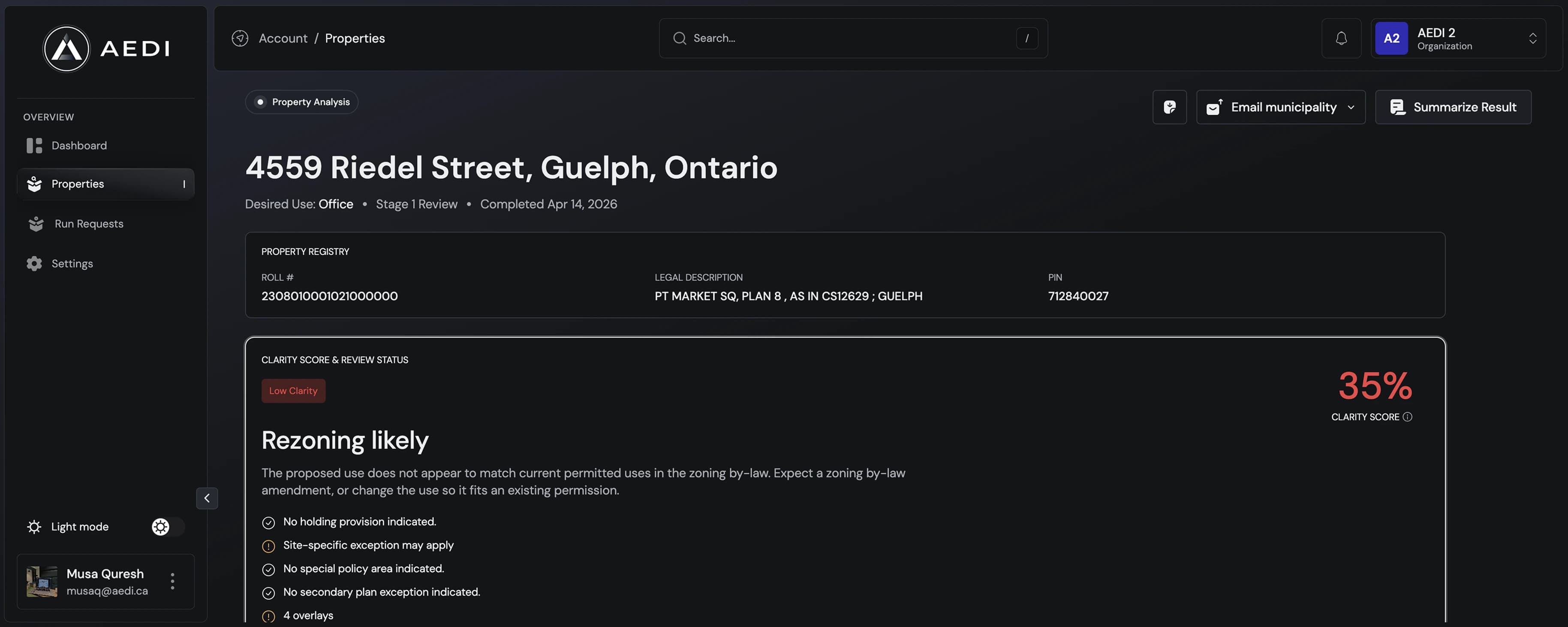


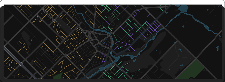
Map-Based Analysis
Interactive zoning and policy overlays with parcel boundaries and constraints - export-ready for reports.
Enter an address and AEDI will review zoning, planning rules, overlays, constraints, and early feasibility risks before you buy, design, or apply.
Include street, city, and province for the most accurate results.
AEDI works through every planning layer in order and exports a shareable Stage 1 report in minutes. Watch the clock, and see what each layer still costs a professional by hand.
Address entered
Any property address
Manual: Minutes to hours to find the municipal website or ArcGIS interactive mapping.
Parcel confirmed
Matched to municipal records
Manual: Minutes if ArcGIS mapping is current; hours for smaller municipalities with PDF maps.
Zoning checked
Permitted uses & standards
Manual: Hours to find the current zoning by-law (if only one exists).
Official Plan reviewed
Designations & policy
Manual: Hours across hundreds of pages and if/then references.
Overlays flagged
Heritage, floodplain and more
Manual: Minutes to hours depending on the municipality, identifying overlays and special conditions.
Context interpreted
Planner level summary
Manual: Hours to days or weeks, communications with municipal staff or planning consultant for clarification to have full confidence.
Stage 1 exported
Shareable in minutes
Manual: Hours to assemble all information in order to communicate with client / municipal staff clearly.
The full stack: under 6 minutes of review versus days of manual back-and-forth, the same depth, ready to hand to a client or the municipality the same day.
AEDI checks the property rules that can delay, limit, or change a project.
Interactive zoning and policy overlays with parcel boundaries and constraints - export-ready for reports.
Automated checks against current zoning by-laws, official plans, provincial policies and overlays with citations included.
Clear confidence levels, conflict flags, and review status indicators so you always know how reliable a result is.
Start with a fast triage, then unlock a full municipal-ready planning pathway when needed.
Development Feasibility Approvals
Stage 1 confirms what a property is. Stage 2 tells you what it takes to build on it — the policy stack, the approvals path, the risks, the costs, and the team you'll need.
Best for evaluating development feasibility and outlining the required approvals process.
Initial triage with information heavy output. Capability of use and fast decision making. Answering can I build here?
Answers the How. Guidance through the development process, what it takes to complete — the policy stack, the approvals path, the risks, the costs, and the team you'll need.
Stage 1 tells you whether a site is worth another hour of your time. Quickly providing the information that takes professionals hours to review. Stage 2 tells you whether it's worth the next two years — what the approvals actually look like, what they'll cost, and what can break the deal before it starts.
Modern development is complex. AEDI brings together the speed of AI with the certainty of professional oversight. Every result is built on logic and strict guard rails – so nothing is guessed, speculated or hallucinated.
Instead of hours, days or weeks of manual research, applicants get a clear, defensible feasibility snapshot in minutes – so better, more informed projects move forward from day one.

AEDI applies structured logic to real municipal by-laws & policies not generic zoning summaries.

Each result references the documents reviewed so users know exactly where conclusions come from.

One of a kind confidence score built on layers of indicators showing when a project is highly probable and where deeper review is needed

Start with fast triage, then unlock deeper analysis only when the file justifies it.

Export PDF are formatted and scoped for early municipal review & professional consideration and collaboration

Run multiple parcels, track outcomes and revisit past files. Starting your workflow with clarity from the start
AEDI is built one municipality at a time. Each region is fully modeled, verified and tested before going live – so every feasibility result is accurate, comprehensive and ready to trust.
Search any Canadian address. We'll tell you if AEDI is live there — and if not, you can request priority coverage in one step.
Include street, city, and province for the most accurate results.
A team of builders, planners, designers, and operators working to simplify the path from site to solution
Whatever your role, AEDI gives you the clarity to understand a property before you commit time or money.
Check what may be possible before designing, buying, or applying.
Help clients understand feasibility before making offers or waiving conditions.
Identify zoning and approval risks before spending on drawings or consultants.
Use early property review to support deal review, client advice, and due diligence.
Setup your account and start generating your reports
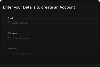
Sign up in minutes and access the AEDI workspace built for professional property review.
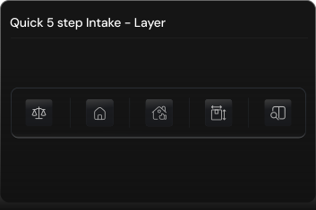
Provide the civic address and any identifiers you have. AEDI confirms jurisdiction and zoning.
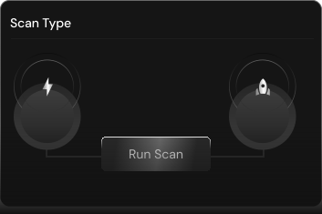
Select a Stage 1 triage or a full Stage 2 review based on how deep you need to go.
Choose the plan that fits your workflow and scale at your own pace. No hidden fees.
Pay-per-use
One property. One source-backed feasibility report. No subscription required.
Check a PropertyIncluded
Stay informed on municipal changes, feasibility strategy, and emerging trends shaping property development across Canada.
Don't see the answer you're looking? Get in touch
AEDI is a property triage and zoning intelligence platform that helps clearly understand what's feasible on a site before engaging in detailed design or municipal processes.
Run your address by AEDI and get fast, structured insight into zoning, constraints, and feasibility.